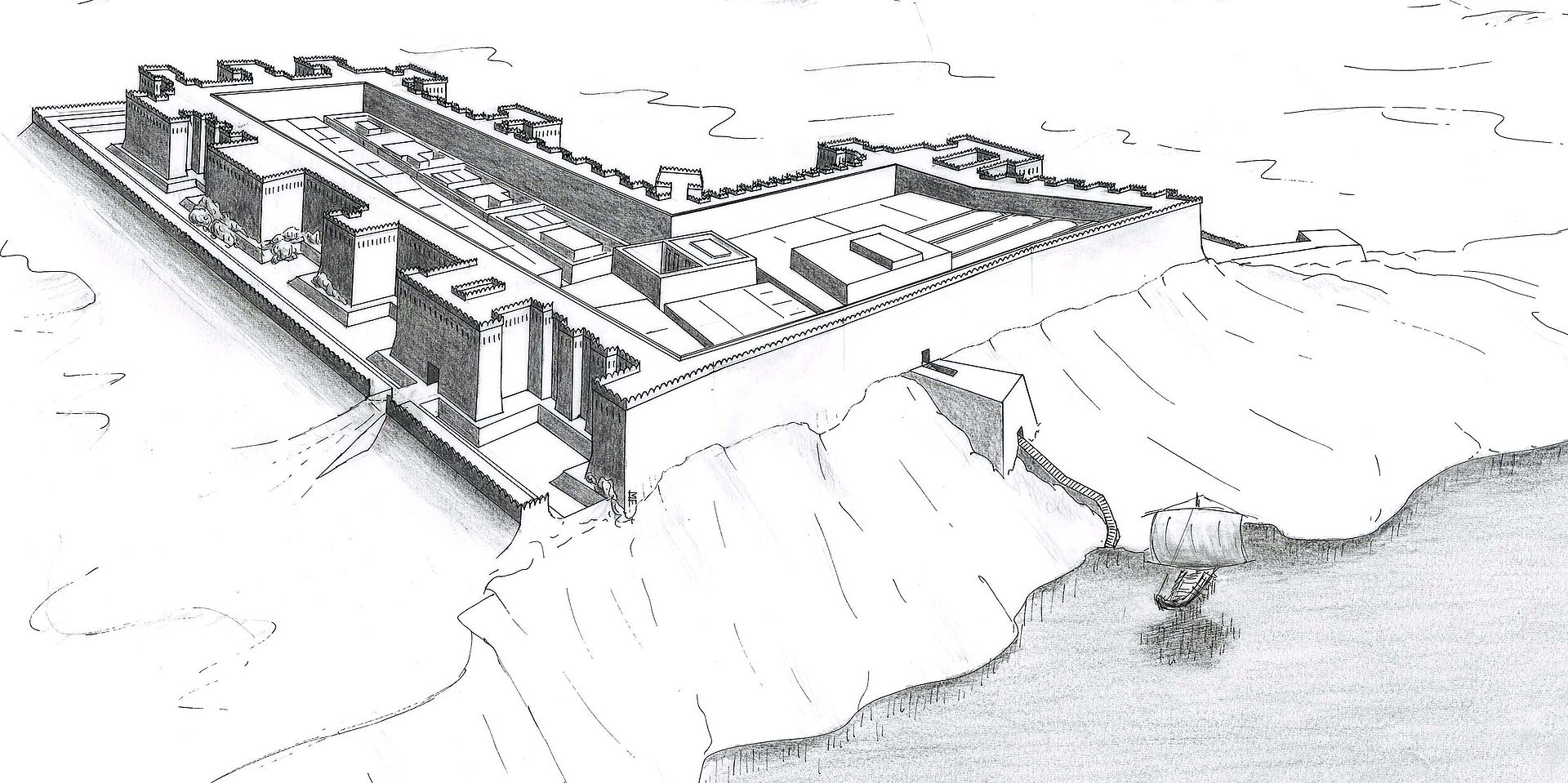
Kumma Fortress — Semna East
Semna East · Kumma Fortress · Kumma
Middle Kingdom, 12th Dynasty·Ancient Egyptian·🇸🇩 Northern State, Semna Cataract east bank, Sudan
About
About Kumma Fortress — Semna East
Rectangular eastern counterpart to Semna West across the 500 m Semna gorge, built to close the eastern channel and form a fortified river gateway with coupled gate signals. Excavated by Reisner, Kumma yielded barracks, granary foundations and rock inscriptions of Sesostris III. Its compact square plan contrasts with Semna West’s L-shape but shares wall construction and glacis. Like its pair, Kumma is now usually submerged; survey at low Nile shows wall stubs.
Why it mattersDemonstrates paired fortress engineering at hydrological chokepoint.
Open questions
Mysteries & theories
Mysteries
- 01Cross-river signalling system
Theories
- 01Twin forts operated as unified customs barrier requiring ships to be hauled overland
Theories are interpretations, not findings. The seal above tells you how much scholarly weight the place carries.
History
How it came to be
- Built
- c. 1860 BCE
- Period
- Middle Kingdom, 12th Dynasty
- Culture
- Ancient Egyptian
- Purpose
- Companion fortress east of Semna gorge, paired control of Semna Cataract eastern passage
- Excavation
- Excavated
1860 BCE
Built contemporary with Semna West
1924
Reisner surveys Kumma
On the ground
Structures & features
Gallery